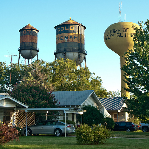
This is a multi-part trip report… if you haven’t already, you should start with Day 1.
Start: Saguaro National Park (Douglas Spring)
End: Saguaro National Park (Juniper Basin)
Daily Mileage: 0
Total Mileage: 1405
Miles Hiked Today: 7
Miles Hiked Total: 18
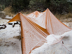
We awake sometime after midnight to a blustery wind and a tent down around our faces. A gust has popped a guy line off a tent stake and part of our shelter has collapsed around us. After Bryan fixes it, the rain starts and it rains hard for awhile, the wind still pounding on the sides of our tent. Around dawn it lets up, giving us time to eat breakfast and pack up our things in a drizzle instead of a downpour.
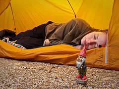
Aly sleeps late at Douglas Spring
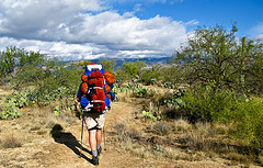
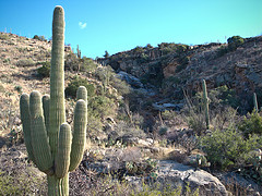
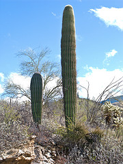
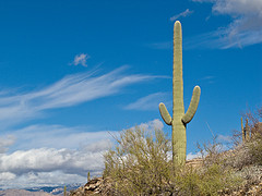
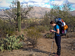
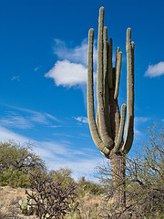
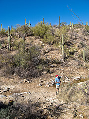
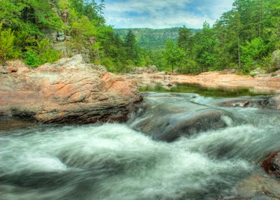
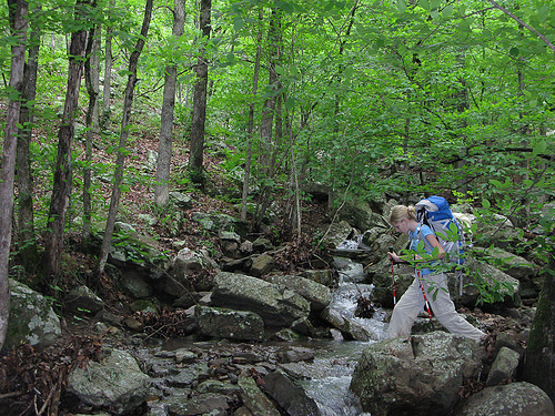
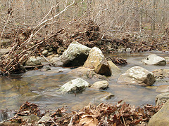
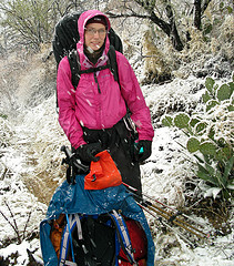
The trail from Douglas Spring to Cow Head Saddle goes up, up, up, with hardly a break. We look ponderous and heavy in our big packs, made even larger by their rain covers. We’ve left the desert plants behind; what’s here is a dense pack of short trees, almost like a miniature rain forest. We’ve had several creek crossings and even a little waterfall. We know that it rained an inch this week, after only eight inches in the past year. We can’t help but smile, thinking that our impression of the Sonoran desert is one of a rather lush and damp place.
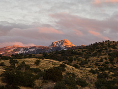
The views are amazing from up here. The rugged purple mountains we’d been admiring from Tucson are all around us now. As we climb, we watch the clouds move in the peaks around us, intrigued by the patterns of rain and sunshine. We see two different rainbows today.
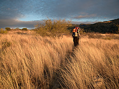
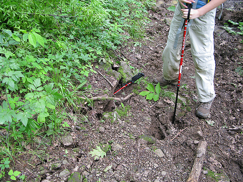
We turn right at Cow Head Saddle and head up Tanque Verde Ridge. Our thermometer reads 45 degrees but that’s hard to believe. The wind is vicious, sustained at probably 30 mph and gusting to 40 or so. There are a couple of times we’d each have fallen if we hadn’t been using poles, and once the wind shoved me into a big, prickly yucca.
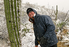
Bryan finds a strange cluster of large rocks just off the ridge, and we use their shelter as a much-needed windbreak to eat our lunch. We can’t help but notice that the trail has a great deal of scat; apparently every large animal who makes it to the ridge poops on it. We note with some concern that a lot of what’s here is rather large, with a lot of berries. Will we hike with bears today?
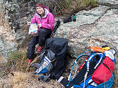
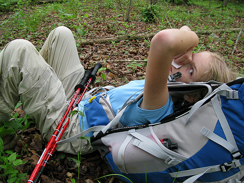
On the ridge, we find a windbreak for our lunchtime stop
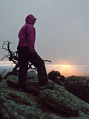
Finally, after a number of smaller “this must be it” peaks, we reach a sign for the REAL Tanque Verde Peak. We drop our packs and hike, much lighter, the few hundred yards up to the peak. It’s later than we thought but the view is amazing and the golden light near sunset makes for some lovely photos, and we don’t mind the prospect of hiking at night.
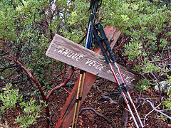
Finally, the sign for Tanque Verde Peak
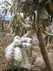
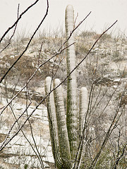
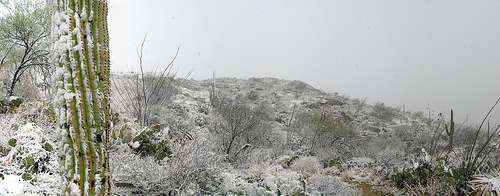
We’ve been traveling through the low, damp woods, with little patches of untracked, old snow. Burned black skeletons of old pine trees rise above the heavy green foliage, for as far as we can see their separate shapes. By the time we reload our packs, it’s already dusky, with about two more miles to go before our backcountry campsite for tonight. The views from the ridge are amazing: eye level with the heavy, dark lower margins of the rainclouds, we look across at the dusky bulk of the next mountains. And, as hard as we’ve worked to get above the city, we still sometimes see the lights of Tucson spread out below us in the dusk.
After dark, our trail crosses several patches of bare rock, and is difficult to follow in spots. At each of these, I stop at the edge of the trail until Bryan finds the route off the rock; this keeps us from getting turned around in the dark and backtracking. We find that, while I like to hike in front for part of the day, I prefer that Bryan lead after dark, since he sees better at night.
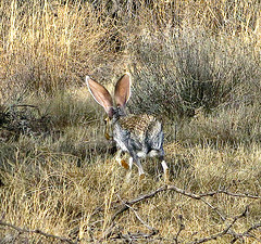
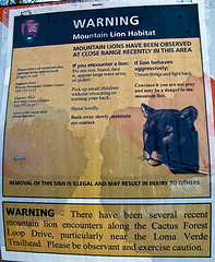
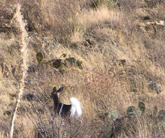
About a half mile before camp, Bryan sees two eyes in the woods to our left. They hop hurriedly away and he’s excited to have seen another jackrabbit. Another pair of eyes peers out at him from a bush right near the trail, and he walks forward, turning his headlamp on high to get a better look. He stops, still in the path, with one arm out to block me: “Aly, it’s a cat.” We both take a step backward.
After a moment to collect our wits, we do all the right things: we wave our arms and yell, we throw rocks, and we don’t panic. One of Bryan’s rocks causes the lion to retreat enough that we can continue down the trail past where it was sitting, but after moving off just a few feet, it stops and watches us. Another rock makes little difference: the big cat is just watching.
Bryan walks slowly and I walk backward, just behind him, yelling “We are PEOPLE! We are BIG AND SCARY! Also, we are NOT AT ALL TASTY!” As silly as our words sound, we’re terrified. I move my headlamp from my neck to my forehead, in case appearing just a little taller might help. Bryan walks faster forward than I can walk backward, and I stumble and nearly fall. He slows down, then, and I pay a little more attention to the trail, but still, each time we look back, there are eyes behind us, following.
Sometimes the cat moves off to our left a bit, and sometimes it drops behind us, but always its wide-set eyes are the same distance away, not more than a hundred feet from us. Fortunately, the trail is crossing a rather flat area and we can see some distance. We continue our awkward retreat, still yelling, still moving slowly but moving away. But we don’t lose the cat. We realize, with alarm, that we’re being stalked.
We cross a little stream and the trail dips; we can still see behind and to our right, but the trail runs next to a cut to the left. We lose the lion; he could have stopped following us but he could just as well have climbed up the little hill to our left; he could be fifteen feet from us before we see him again. We hold our flimsy hiking poles and we yell and we know that, if the lion wants to catch up with us here, he can.
We want so badly to walk into the Juniper Basin backcountry site. We start to worry that in our preoccupation with being hunted, we’ve actually walked past it in the dark. But after a few more minutes of loud conversation and awkward backward lurching in the dark, we find a sign that says “Juniper Basin – Campsite and Comfort Station” and we follow its arrow.
The backcountry sites at Saguaro National Park have prefab toilet structures, and we’d used one just this morning at Douglas Spring. We’ve been talking about that bathroom for quite awhile, discussing how nice it will be to have a door to shut behind us, trying to figure out whether or not we can actually cook and eat supper in a pit toilet, puzzling over whether we could both somehow sleep on its floor with the door shut behind us. I’m not sure I’ve ever looked forward to seeing a bathroom quite as much as I was looking forward to seeing the bathroom at Juniper Basin.
We follow the arrow, and we find the first, and second, and third tent sites tucked into the folds of the wooded basin. But we can’t find the bathroom anywhere. We retrace our steps in the windy dark, still watching for eyes, still talking loudly, and still can’t find the structure.
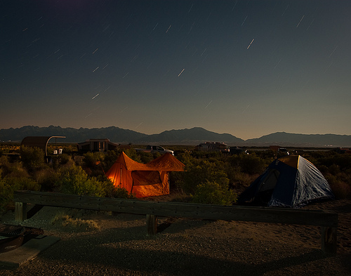
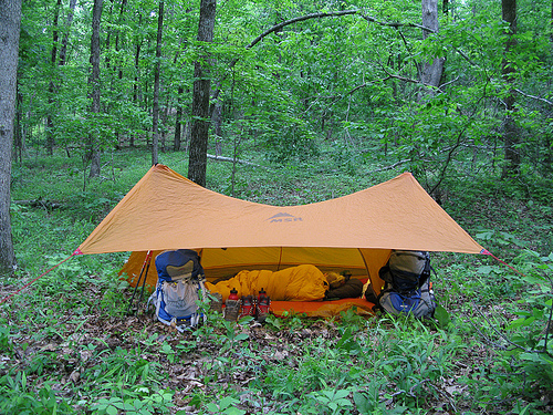
Neither of us is hungry, so we opt to skip cooking supper tonight. We get out our plastic-coated guide and Bryan looks at the animal pictures: yes, he says, the face of the mountain lion on the page is the face he’d seen in the woods. We still feel vulnerable and worried, but we decide that we look less like food if we’re in a big orange tent. We set up camp, looking around us all the time, and we are very careful to put everything else in the metal bear box. We crawl inside the tent eat a “supper” of dried fruit, chocolate and water, and after a time, we fall asleep.
A selection of additional photos appears below, for more photos from the trip checkout our Flickr page.
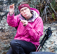
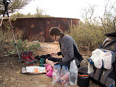
There’s a bug in Aly’s peanut butter. You can’t see it, but it’s there
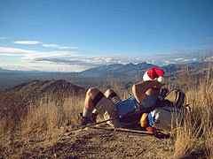
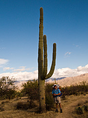
Near sunset, near the peak
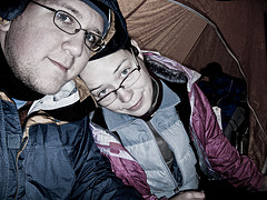
Photos of both of us are rare, with no one to hold the camera; the peak logbook stands in
Day 6 – Day 7 – Day 8
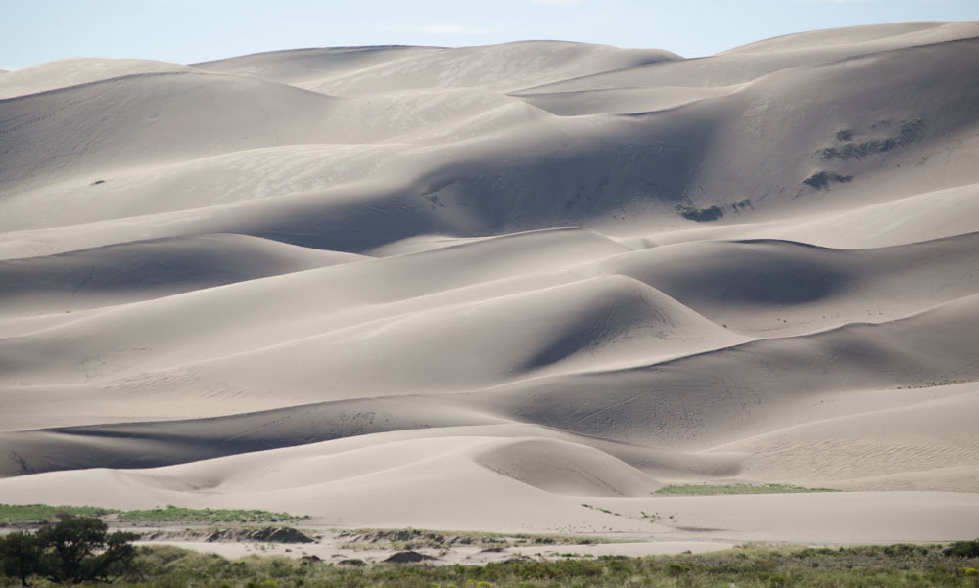


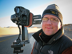
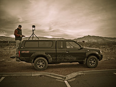
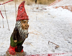
 We wake up amid sand dunes but far from a beach. Monahans is a weird place. I take down the tent and pack up while Bryan sets up the tripod for photos. The visitors center rents discs for a dollar and sandboards for two. I take the last picture of our gnome, walking up a dune toward the sunshine. Tonight we’ll sleep in our own bed, at home.
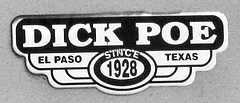
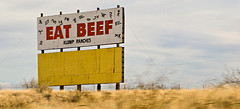
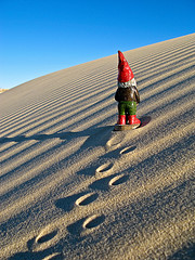 There’s nothing out here: the speed limit’s 80 and that seems like a good idea. Dairy Queen has supplanted McDonald’s as the fast food chain of choice. We drive past miles and miles of scruffy, ugly pasture land and oil rigs. Odessa is dirty and sad-looking and Midland, while surprisingly large, isn’t much better. The businesses along the highway are all drill-rig and tank and pipeline suppliers. The sky is big, though, and blue.
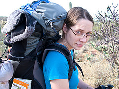
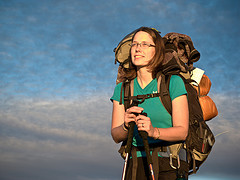
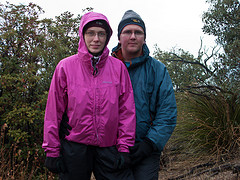
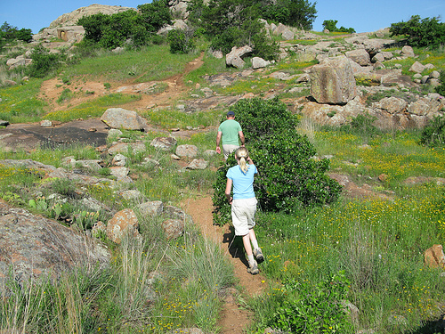
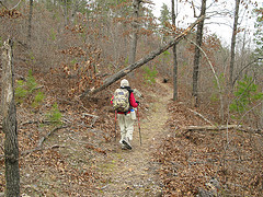
 Finally, we’re walking! It’s in the mid-seventies today and the weather is beautiful. It’s lovely, though not at all what we packed for. SmartWool socks are wonderful: my feet are dry but my legs are wet from the moisture that’s wicking up through the fabric. We’ve brought our cold weather gear, which makes our packs comically overstuffed, but we’ll probably need coats and gloves up on the ridge.