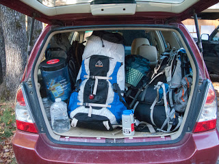
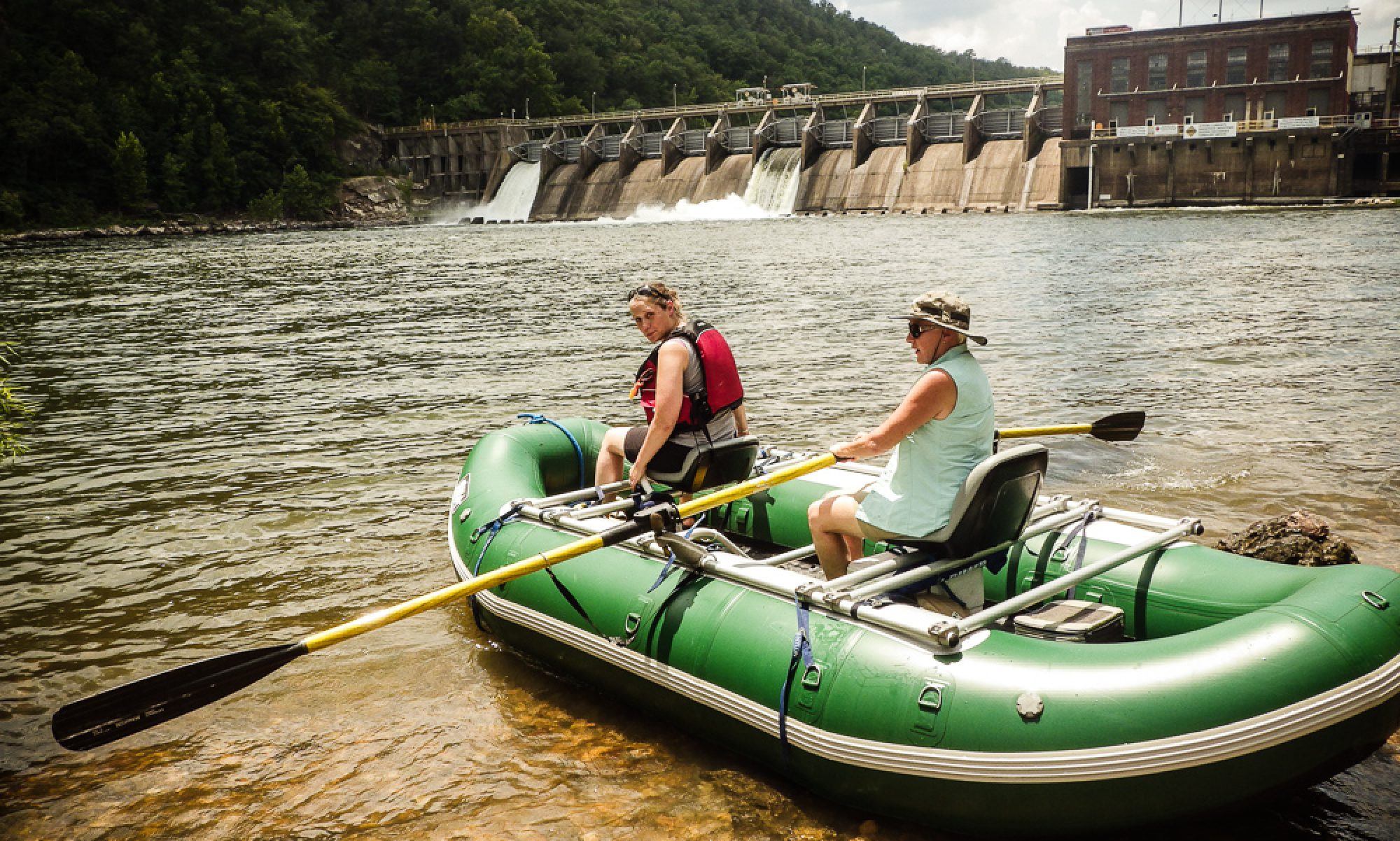
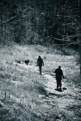
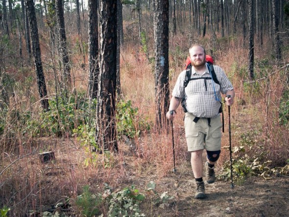
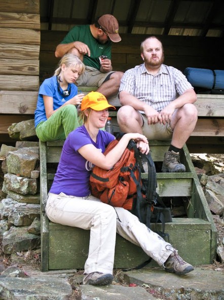
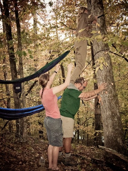
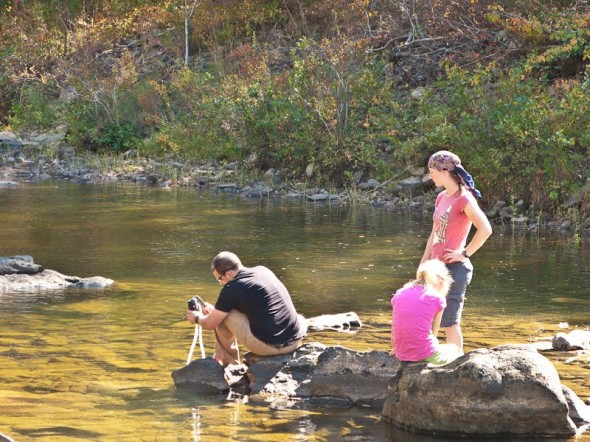
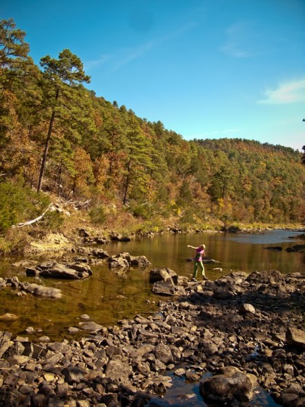
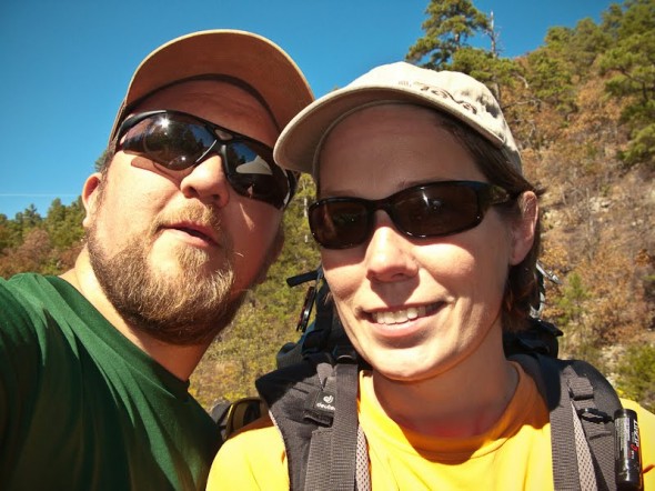
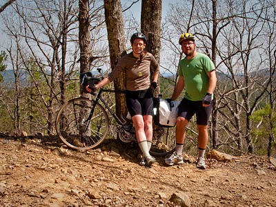
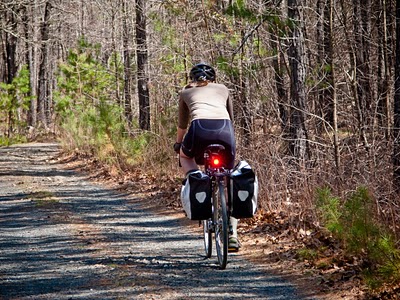
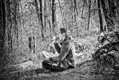
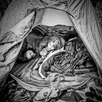
We like meteors, and we like the woods, and we like Mitch and Monkey and Nick. One of our favorite short backpack trips in Arkansas is one Buckeye Mountain, in the Caney Creek wilderness area. Most Arkansas trails do a lot of up-and-downing over the hills, but the Buckeye runs up to a ridgetop and stays there. Continue reading “Meteors on Buckeye Mountain”
Adventures in Dog Boating
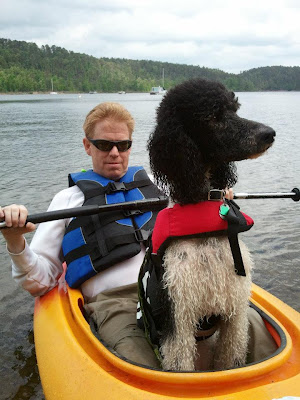
In preparation of a future Buffalo River trip, we decided to spend the morning on Lake Ouachita. We could try different kinds of kayaks and canoes, we figured, and we could check out how well the dogs would do on the water.
Ivy likes water but not too much, and she’s a little afraid of riding in cars, and she generally likes to sit up straight and be admired. I predicted that Ivy would sit still in the middle of a boat and allow herself to be paddled around the lake like the princess that she is. I was right.
New Years Hike
Happy New Year! The last supper of 2011 was Jarion’s excellent steak and veggies, eaten by the light of a camp lantern on a picnic table. We spent the last night of 2011 in a tent near the top of Mount Magazine. It’s a windy, windy place.
We were up early, in the cold. Jarion had lost the lighter the night before, so I loaded up the early risers to obtain a replacement (and coffee) at the Lodge. Then we drove back to camp for pancakes and eggs and sausage before loading up the dogs and the gear and driving back down the mountain.
Continue reading “New Years Hike”
Petit Jean Campout
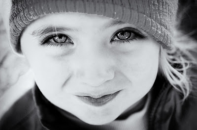
This is our niece, Emma. What a sweet face! Who wouldn’t agree to a post-Christmas campout with these eyes?
Bryan’s brother Kevin, his wife Julie, and their little girl had plans to camp at Petit Jean State Park over the holiday break, so we joined them. We had short dayhikes, lazy afternoon naps in camp, and good Dutch oven food. It was a nice break from rougher weekend trips. Continue reading “Petit Jean Campout”
Ouachita Trail, Section 6
Ivy the Poodle has never gone backpacking, so we thought we should fix that problem. Our unicycling friend Alyssa decided to make it her first backpacking trip as well. We chose section six of the Ouachita Trail because it’s an easy hike with accessible water. And on beginner trips, it’s nice to use a trail shelter and leave the tents at home.
What a pretty, pretty weekend! It was warm and pleasant hiking; in fact, we had to stop along the way so that Jarion could adjust Kathy’s pants by cutting out the too-warm linings. Continue reading “Ouachita Trail, Section 6”
Kathy’s First Backpacking Trip – Caney Creek
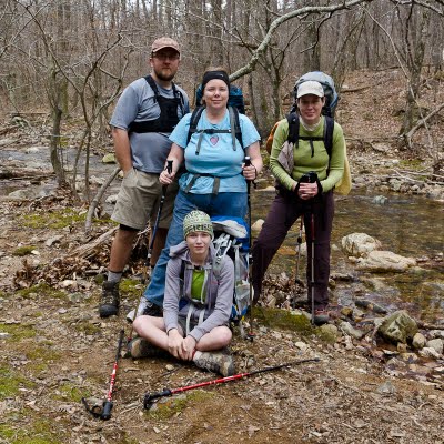
Our good friend Kathy is a good campground-camper, but had never backpacked. She likes being outside, but she’d never actually carried all her stuff on her back and spent the night in the woods far away from everything. So we all decided that we should fix that. We picked her up after work on a Friday and drove to Shady Lake campground to spend the night and be ready for an early start on Saturday. Continue reading “Kathy’s First Backpacking Trip – Caney Creek”
Ouachita Trail, Section 6
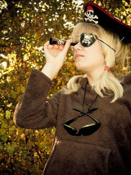
Several polo players have been saying they’d like to go backpacking, and somehow our schedule shifted and gave us a free weekend, and we thought that sounded like a good plan. Bryan brought maps, I brought food, and Mandy brought plastic pirate gear.
Our original plan was to hike section seven of the Ouachita Trail. It’s a pretty 20(ish) miles, and climbs up and over Blue Ouachita Mountain. But it hasn’t rained in awhile and nearly all of this section of the OT is high up, crossing the tops of some drainage areas. The trail shelter is near a spring that doesn’t run all year. So almost at the last minute we realized that since we didn’t want to carry two days’ water, section seven wasn’t a good plan, and we switched to section six instead. Section seven isn’t as high up, and it would allow us to spend the night at a shelter near a substantial stream.
Adam has some knee problems, but he’s a good sport and wanted to try the hike. He brought two or three different knee braces and a lot of pain medicine.
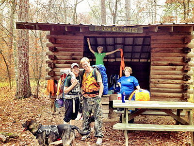
We hiked about six miles on Saturday before arriving at the trail shelter, a simple wooden structure with almost four sides. The shelters on the OT are handy for people who may not have lightweight backpacking tents, or who may just want a break from carrying them. If the weather’s bad, it’s nice to have a tin roof and a wooden floor, instead of a drippy nylon tent. And no matter what the weather, picnic tables are handy.
Ruth and I both brought our ENO hammocks. Mandy was called into service (dressed in her lovely military longjohns) to help hang the higher hammock.
Ruth taught us how to flip from one hammock into another, and a great deal of the in-camp entertainment involved watching Mandy and Ruth attempt to do this at the same time.
Our decision to change plans, to the lower section of trail, was a smart one. Not only did we have a creek to play in after a long day of hiking, but there was water to pump for supper and for breakfast the next morning, and there was water at lunchtime on day two as well.
It’s been a busy autumn for all of us, and I think we all enjoyed getting out of town and into the woods for a couple of days.
We’d had a late morning start on Sunday, and at almost suppertime Adam’s knee was starting to give out with nearly five miles to go. Ruth, Vinnie, and Mandy still had a lot of energy, so we decided to split up at a road crossing. Bryan and I stayed with Adam and all six packs. We loaded up the others’ pockets with snacks and a small first aid kit. We made sure they all had jackets and water and headlamps and a map. When they left, we set up our hammocks and waited.
They finished the trail in just under two hours, running a fair portion of it. They got to the car, picked up the truck, had a snack stop at a gas station and a bathroom stop at a church. As we waited, we set up two red blinkers in the woods near our hammocks, so that they could find us easily. And sure enough, just as it got too dark to see easily, the Subaru and the pickup pulled up to take us to a good Mexican supper in Jessieville.
Rough Riders
I keep thinking I’d like to try a long ride on the endless gravel roads in the National Forest near here. Sure, the surface is rougher, the hills are steeper, and there aren’t any sandwich shops. But wouldn’t it be nice to ride all day without getting crowded off the road by an angry pickup?
Mandy’s in Tulsa this weekend, so Bryan and took an experimental ride near Lake Sylvia. My bike’s the one with racks, so I carried all our tools and snacks and rain gear for the day. I still have no good low gear, so with that extra weight the hills were difficult. The road surface, on the better-traveled of the forest roads, was perfectly comfortable for the Voyageur, even with its fairly narrow tires. (32-630)
Bryan wanted to try to get his bike up North Fork Pinnacle, to see if we could camp there on a future bike tour. (Being older and wiser, and having been up there many times, I opted for a snack and a nap in the afternoon sunshine instead.)
The prize of the day was finding a usually-gated road, on a gentle, miles-long downhill, with small packed gravel that reminded me a little of the smooth Katy Trail in Missouri. We found a beautiful campsite next to a clear green stream.
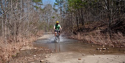
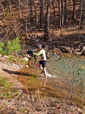
Shortly after lunch, though, our perfect road turned to a jeep track with rock chunks the size of cats’ heads. The wide, flat puddles got bigger. There were stream crossings. I hadn’t signed up for mountain biking, so I walked the larger portion of this part of the road.
Bryan and his hybrid Giant, on the other hand, had a great time cruising through puddles and dodging rocks.
I don’t think I’m cut out for mountain biking: sometimes two wheels just doesn’t seem as practical as two feet. But the smoother parts of the day were lots of fun, and we’ll definitely ride in the forest again.
Ouachita Trail, Section 3
I wanted to start out fresh, west to east, to see if we could hike the whole 220-mile trail in a year or two. I even bought the newest edition of the Ouachita Trail guidebook, just for the occasion. We’d intended to take Martin Luther King’s three day weekend to do section one. The 90% chance of rain on Saturday changed that, though, because none of us wanted to start out a January backpacking trip with a day of rain. The revised two-day hiking plan called for section three instead, starting from Queen Wilhelmina State Park.
In the parking lot there, we met a dayhiker from Texas. “How long have you been making HER do this?” he asked, gesturing toward Mandy, next to the car, fiddling with her hiking poles. I understand that most twelve year olds don’t think carrying a 20-pound pack seventeen miles is a great weekend, but we assured him that Mandy was in the woods because she wanted to be.
Before long we left our dayhiker behind, doing a pencil sketch at a pretty overlook. Some time after lunch, we picked up a cache of water we’d left near the FR 516 road crossing, and pumped our bottles and platys full, too, since day two’s hike will be along a ‘razorback ridge’ with unreliable water supplies.
We camped in the creek bottoms past the crossing. Bryan and Mandy enjoyed their Mountain House freeze-dried beef stew, and Mandy expressed great disappointment that tomorrow night we’d be off the trail, so she wouldn’t be able to eat the macaroni and cheese she’d picked out. I’m glad they like this stuff, but I still can’t find freeze dried food I like. I’m going to start eating oatmeal for supper, too, I guess. We dutifully hung our food and toiletries from the trees. Since we found evidence of a previous fire we built a small one, too, though it was chilly enough that it really didn’t help a lot.
There are plenty of evident camp spots on this section of trail, many with fire rings. We saw one right next to an old, old stone wall mentioned in Ernst’s trail guide. I can’t help but wonder what story the wall could tell. Who lived here, way back when this narrow road trace was the way to school, or to the store, or to the neighbors’? How far away were those things? What was life like, in these woods, all those years ago? We run across evidence of people living here seldom enough that, when it happens, it’s worth spending some daydream-time on.
Day two’s hike was similarly pleasant and uneventful, except for sore feet and tired hips. The weather was nice; quite warm for January, but still pretty chilly in the wind. Bryan, with his Adventure Watch, pointed out that we were finding the mile markers exactly a half-hour apart: we were still making two mph, even on this very rocky section of the trail. Just at dusk, we arrived at the Highway 71 road-crossing. We loaded up the truck and headed back to pick up the Subaru, and some supper, and to start the long drive home in the dark.
Attack on Mt Magazine
A few days earlier, I had received an email from the Arkansas Bicycle Club with some of their upcoming rides listed and one of them was a ride from Danville, AR to Havana and then up Mt. Magazine.
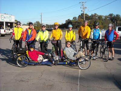
When I first read this idea I joked to Aly that we should do that. We laughed and time marched on but later in the week I found myself thinking “ya know… I think we actually could do that.”
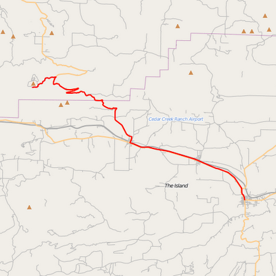
When the day arrived, Aly didn’t feel good so she stayed home to try and fight whatever bug she had off while Mandy and I packed up our tandem recumbent trike and headed to Danville.
In addition to riding up the tallest mountain in Arkansas, we would have a ham radio and GPS unit on the bike which would sent our position reports every two minutes. This was our first time trying that out and Aly would be at home monitoring our progress off and on throughout the day.
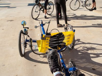
In the photo above, you can see the GPS unit and radio. If you click on the photo you’ll be able to see notes explaining each of the parts.
So… recumbents aren’t known to be good climbers and trikes even worse so… and we had a tandem recumbent trike! This would be the tallest and longest climb for either of us, over 2500 feet of climbing and ~21 miles from the bottom to the top. That 21 miles includes the 10-12 miles of “warmup” ride to get to the start of the climbing as well as the rolling hills in the last 3-4 miles on top.
Here’s an elevation profile for todays ride…
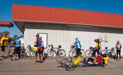
The group waited for us at the gas station in Havana which is about 9 miles from the starting point. With the warm-up over, we turned off Highway 10 and headed for the top of Mt. Magazine.
I’m extremely proud to say that Mandy and I grunted and groaned though the next several hours and climbed that bitch at an average of 3 mph. We never did dip below 2.0 mph according to the GPS but we did get pretty close! It got to the point that if we were able to go over 4 mph then we were pretty darned happy (c:
As I mentioned, this was an ABC ride but everyone else was on their two-wheeled-skinny-tire-go-fast bikes so we didn’t see them once the climbing started. They made sure we got to the top (about two hours after they did) but then they all headed down and back home.
So this “group” ride was more of a solo outing for Mandy and I with a few people in the vicinity that we knew.
Once at the top (about five hours after we left our vehicle), we stood in line for the lunch buffet at the Lodge and my legs were so week I had to keep sitting in nearby chairs!
After about 30 minutes in line, we were finally seated and lunch could actually begin. We took our time, enjoying the cold water and comfortable seats. After eating we found a sunny spot and a couch to sit on and rested while our bodies processed the food.
While waiting we watched a wedding take place outside, hang-gliders floating above the Lodge and we flipped through a photography book about Oklahoma.
As we were leaving, we had a nice lady take our photo and we answered her questions about our ride up. She was familiar with recumbent trikes because, get this, many people in her retirement community have them!
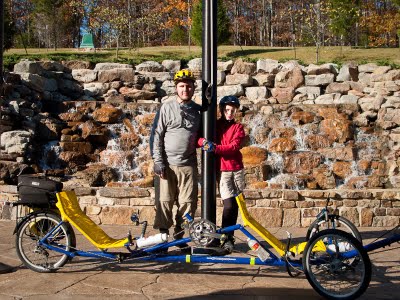
The ride down was a blast, we wore our rain jackets to cut the wind and kept the speed under 41 mph! The bike was super smooth and stable at that speed and we arrived at the bottom only 40 minutes after leaving the Lodge!
What had taken nearly four hours to climb up, took only 40 minutes to ride down. I’ve ridden my bike down the other side of Mt Magazine but this ride was so much sweeter since we actually earned it (instead of driving to the top).
The GPS data for this ride can be downloaded from here.