Ouachita Trail, Section 3

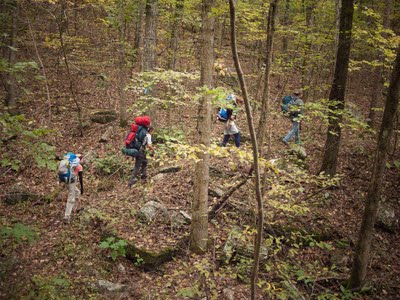
I wanted to start out fresh, west to east, to see if we could hike the whole 220-mile trail in a year or two. I even bought the newest edition of the Ouachita Trail guidebook, just for the occasion. We’d intended to take Martin Luther King’s three day weekend to do section one. The 90% chance of rain on Saturday changed that, though, because none of us wanted to start out a January backpacking trip with a day of rain. The revised two-day hiking plan called for section three instead, starting from Queen Wilhelmina State Park.

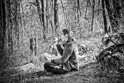
In the parking lot there, we met a dayhiker from Texas. “How long have you been making HER do this?” he asked, gesturing toward Mandy, next to the car, fiddling with her hiking poles. I understand that most twelve year olds don’t think carrying a 20-pound pack seventeen miles is a great weekend, but we assured him that Mandy was in the woods because she wanted to be.

Before long we left our dayhiker behind, doing a pencil sketch at a pretty overlook. Some time after lunch, we picked up a cache of water we’d left near the FR 516 road crossing, and pumped our bottles and platys full, too, since day two’s hike will be along a ‘razorback ridge’ with unreliable water supplies.

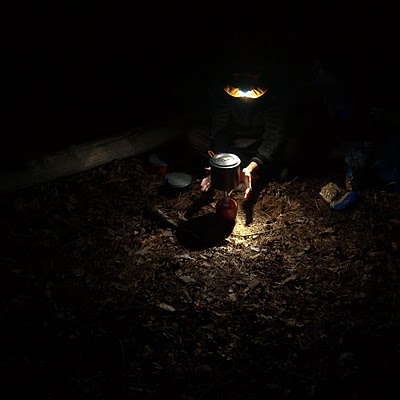
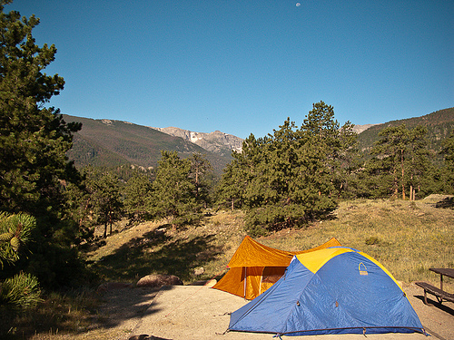
We camped in the creek bottoms past the crossing. Bryan and Mandy enjoyed their Mountain House freeze-dried beef stew, and Mandy expressed great disappointment that tomorrow night we’d be off the trail, so she wouldn’t be able to eat the macaroni and cheese she’d picked out. I’m glad they like this stuff, but I still can’t find freeze dried food I like. I’m going to start eating oatmeal for supper, too, I guess. We dutifully hung our food and toiletries from the trees. Since we found evidence of a previous fire we built a small one, too, though it was chilly enough that it really didn’t help a lot.

There are plenty of evident camp spots on this section of trail, many with fire rings. We saw one right next to an old, old stone wall mentioned in Ernst’s trail guide. I can’t help but wonder what story the wall could tell. Who lived here, way back when this narrow road trace was the way to school, or to the store, or to the neighbors’? How far away were those things? What was life like, in these woods, all those years ago? We run across evidence of people living here seldom enough that, when it happens, it’s worth spending some daydream-time on.

Day two’s hike was similarly pleasant and uneventful, except for sore feet and tired hips. The weather was nice; quite warm for January, but still pretty chilly in the wind. Bryan, with his Adventure Watch, pointed out that we were finding the mile markers exactly a half-hour apart: we were still making two mph, even on this very rocky section of the trail. Just at dusk, we arrived at the Highway 71 road-crossing. We loaded up the truck and headed back to pick up the Subaru, and some supper, and to start the long drive home in the dark.

All girl backpacking trip

Sometime last summer, my friend Amy from Missouri emailed me. Amy car-camps a lot, and she canoe-camps, and she even did a four-day camp trip in Mammoth cave recently. But she hadn’t gone on a backpacking trip in years and so we compared schedules and set up an all-girl trip to hike the Sylamore Trail, north of Mountain View.

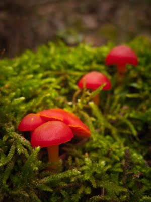
Originally we’d planned to hike from Allison to Barkshed, the length of the old standby Sylamore Trail. But it’s rained and rained, and I change plans every day, all week. I don’t want to do the creek crossing at Allison. The Blanchard campground’s closed. I hear from the ranger office in Mountain View that the new extension trail — the connection between Barkshed and the OHT — has reopened after months closed due to ice storm damage. So we plan to hike the new extension and then the old trail from Barkshed to Gunner Pool. We hope that the wet weather will mean there will be lots of waterfalls and mushrooms to see.

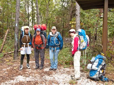
Mandy and I pick up Debbie in Little Rock and we meet Amy and her friend Catherine at Gunner, where we spend the night listening to the creek. The morning is beautiful. Arriving at the Cripple Turkey trailhead around ten, we load up our bags, lock the car, and take our group photo before someone points out that the trailhead marker has no signage posted except for a big “THIS TRAIL IS CLOSED!” I insist that just yesterday a ranger in Mountain View had said it was fine, so we ignore the sign.

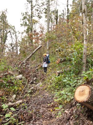
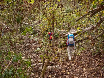
It’s a sobering walk. Almost immediately we’re in the middle of shockingly bad ice storm damage, right on the trail. Limbs are cut and stacked to the sides of the trail, in places head-high for a hundred feet. We have to carefully navigate around huge holes in the trail made when whole trees fell under the ice, pulling up their root balls.

The trail follows near the 900 foot contour line in this area, which is exactly the spot where the damage was the worst. The destruction is staggering. They’ve done a great job of clearing, but the amount of work required to make the trail passable has been immense.

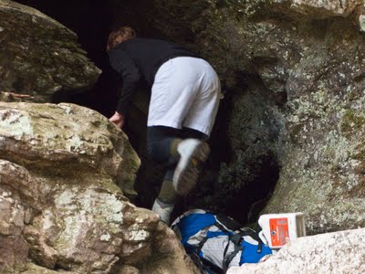
The trail also runs near a number of tantalizingly dark holes in the ground, and all of us are, after all, cavers. Amy is particularly inclined to notice them, and particularly itchy to explore. We laugh as we remind her that we’re hiking today, not caving, and she grudgingly stays on the trail, most of the time.

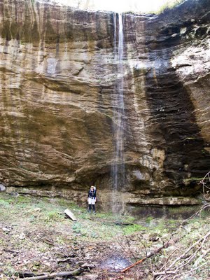
We hike past some very pretty waterfalls, including one in Amy’s ‘Arkansas Waterfalls’ guidebook. It was one she’d found and wanted to see, but didn’t think we could afford the time for the side hike from the road. We are all pleasantly surprised to find that the new extension trail passes right by.

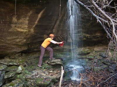
From another cascade, we catch water in the folding bucket, and filter it for later use. I fuss at Mandy for getting so wet but then realize that it’s impossible not to. We notice with interest that none of these waterfalls feed into streams, but sink immediately into rocks and head underground.

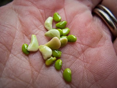
We make camp a mile or so upstream from Barkshed, near the top of a wooded hill. After pitching tents and making beds and cooking supper, Debbie shows us how to properly hang a bear bag. (Those damned lazy Ozarks backpackers!) Mandy shells stick-tites and discovers that their insides look suspiciously like tiny lima beans.

It rains a bit just at dawn, but stops in time for us to make breakfast and pack up. The walk between our camp and Barkshed gets even prettier, with long views down toward Sylamore creek.

At Barkshed the nature of the trail changes a lot: we switch from hiking on new, spongy, overgrown paths to walking on the solid, packed, moss-covered old trail. As pretty as the new extension is, this old standby section is still my favorite: the views are wonderful, and much of the trail follows the edge of a bluff, sometimes undercut to form a roof over our walkway. There are springs and cascades running over the rock. We descend and hike just next to the creek for a bit before joining the gravel road that takes us to Gunner Pool.

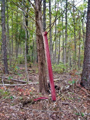
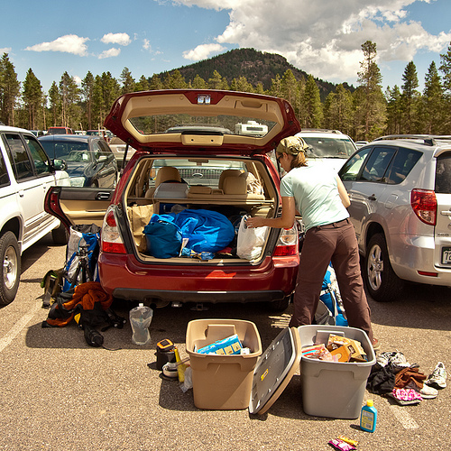
We drive back up to get the Subaru, parked at the far trailhead. On the way out, Debbie sits in the passenger seat, talking about a piece of car she’s seen leaning up against a tree some yards back. It’s red. It’s actually just exactly the color of OUR car. I sigh and stop in the middle of the road, and we walk back to pick up two big pieces of trim that have fallen off my car. We shove the muddy chunks of car into the hatch, completely surprising Mandy, who’s got her nose in a book and has missed the whole conversation.

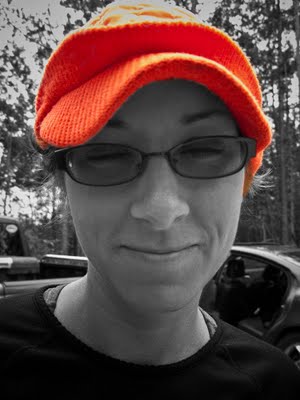
Amy puts on this fabulous hat and she and and Catherine head back to Missouri.

But Debbie and Mandy want to go on a Blanchard tour. $41 later, we own even more bat shirts and have made yet another visit to a favorite place.

It was a good weekend spent outside with strong women, good cavers, valued friends. The quote of the weekend came at the very end, from the cave-tour guide: “Those men who discovered this room, they really liked to cave. Why, they’d come into the cave and just explore, for fun. They even brought their WIVES down here, sometimes!”

Rainy night of backpacking on the OT

It’s been a long week, a stressful one, and we need to go to the woods. It’s warm, and the forecast rain shouldn’t arrive until early afternoon on Sunday. We think it would be a good weekend to hike section six of the Ouachita Trail with a stop at the Uncle Bill Potter shelter for the night. It’s a long Saturday, though, and by the time we drop the truck at the eastern end and found our trailhead at Hwy. 27, it’s after five.

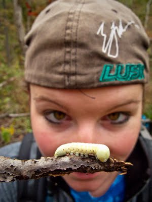
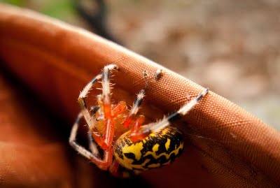
It’s a spidery day. I take my spot at the front of our little group, crashing into spiderwebs as I walk. (I don’t usually like to hike first, but I am called into service when spiders are present.) I count the webs as we pass, and Bryan and Mandy dutifully yell “thank you!” each time. When I get too warm and take off my hat, I am surprised to find a colorful yellow and black hitchiker.

By dark, I’ve run into more than twenty webs.

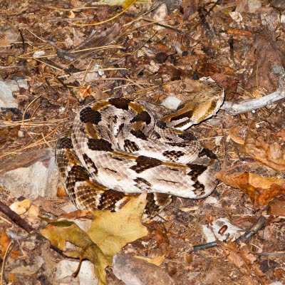
As the daylight fades we get out our headlamps but leave them turned off to try hiking in the dark. Bryan, who’s done a lot of night hiking, enjoys walking under the nearly full moon. Mandy and I, on the other hand, stumble all over ourselves and finally give up and switch our lights on. We know that the turnoff to our shelter should be about six miles in, and Mandy and Bryan are watching for it so carefully that they walk right over a rattlesnake curled up napping in the trail. Their feet pass not six inches from the snake. I see it, and detour.

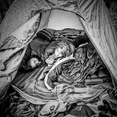
The shelter on this part of the OT is about a half mile off the trail, downhill toward Iron Fork. I sweep out the shelter twice, avoiding the busy wasp nest, while Bryan and Mandy cook our supper. We are awakened around midnight by rain, loud on the metal roof, much earlier than forecast. We all sleep fitfully after that, cozy in our sleeping bags, in our little house in the woods, listening to the rain.

By morning light we see that the shelter overlooks the creek, and we venture out between showers to cook our breakfast and visit the edge of the water. It’s a pretty spot. Since the rain shows no sign of ending, and since we’ve had another very slow morning, we decide not to hike the 12 miles of new trail out to the truck, but just the 6 or so miles back to where we’ve left the car. It doesn’t rain a lot more, but it’s a misty, cool day, and hiking through the wet grass on Sandlick Mountain quickly soaks through my no-longer-waterproof boots.

At the car, we change into whatever dry clothes are left: long underwear, wool socks, fleece vests, plastic camp shoes. My outfit is particularly spiffy, featuring a combination of orange, pink, brown, and red. Our ragtag family draws some looks from the nicely dressed retired folks at Molly O’Brien’s in Hot Springs Village, where we stop for supper on the way home.

We walk into the woods on a warm, bright late summer day, and something changes. We come back out in the rainy overcast of autumn. A new season has arrived, and we are here to see it.

Colorado Vacation, Postscript

Two weeks later, we’ve finally finished up the blog to share our trip with you! The quick and dirty tally of those nine days looks like: 2700+ miles of driving, ~40 miles of backpacking, 8400 feet ascended, 7400 feet descended, two organic burgers in Estes Park, two wonderful Mexican lunches in Raton, NM, two tasty burritos at Chipotle and photographs of four interesting water towers and ten half-buried Cadillacs 🙂

Don’t forget you can see all the photos in this blog bigger (and in many cases, uncropped) by clicking here.

You can also view the photos in a slideshow by clicking here.

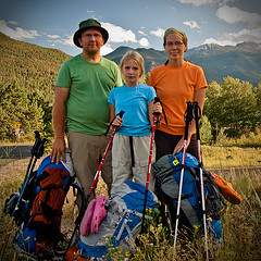
Thanks for reading!Family portrait on our way out of the park

The end!
Part 7 – Postscript – Part 1

Colorado Vacation, Part 7: Amarillo to Home

This is a multi-part trip report, if you haven’t already you should start with Part 1. Remember too that you can click on any of the photos to see larger versions of them.

We overslept this morning but still took time to enjoy the Belgian waffles at the hotel’s free breakfast bar, which Bryan has been looking forward to all week. Mandy woke up a little grumpy but a trip to Cadillac Ranch, just a few miles from our hotel, fixed that.

Cadillac Ranch: Panorama
Click to see this panorama larger.

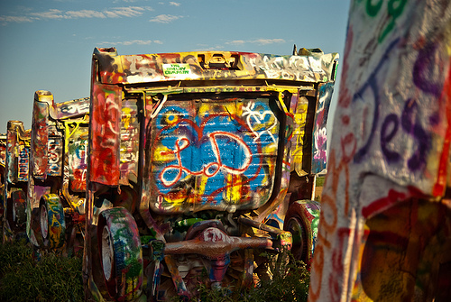
Cadillac Ranch is a sort of strange public art project, a set of ten Cadillacs half buried in a cornfield just off the interstate. They’re stuck into the ground at the same angle as the sides of the great pyramids. There’s a pulloff on the access road, and a gate, and a path.

Cadillac Ranch: Public Art

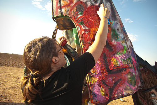
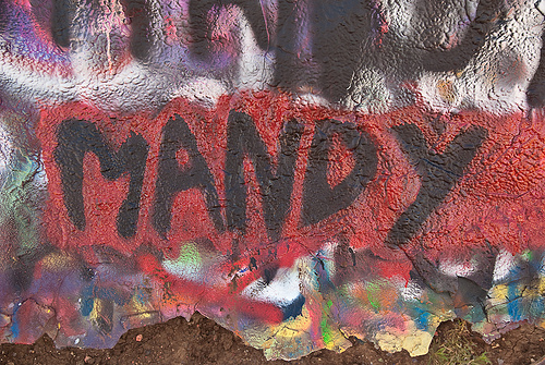
The black paint we’d brought from home worked fine, and though our white didn’t work we found some red paint in the scattered cans around the cars. Bryan played photographer for the most part while Mandy and I tagged Cadillacs. As we left, we gave our cans to a very appreciative bald guy who’d forgotten to bring his own.

Cadillac Ranch: Tag!

Cadillac Ranch: Mandy!

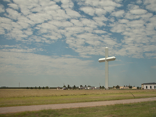
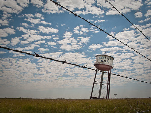
Back at the hotel, we loaded the car one last time. Groom, Texas is not only the home of the second largest cross in the western hemisphere; it’s also the location of the intentionally crooked water tower at the long-defunct Britten truck stop. Our drive has taken on the distinct feel of a goofy route 66 teenager road trip. Mandy refuses to get out at the water tower, preferring to stay in the car and listen to her audiobook rather than crouching in the ditch with her parents, taking pictures.

Largest Cross in the Western Hemisphere: Groom, TX

Crooked Water Tower: Groom, TX

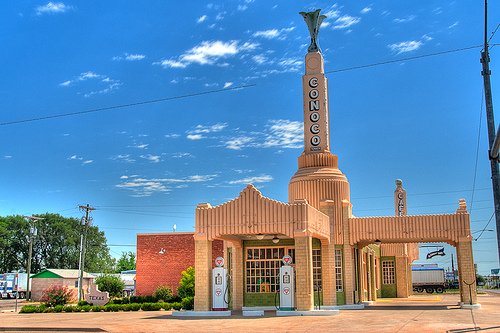
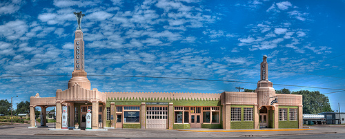
The art deco gas station in Shamrock is the last item on Bryan’s list of roadside attractions. Now it’s just a long slog home. We eat lunch at Chipotle in Oklahoma City, a snack in Van Buren, and we’re home around bedtime.

Route 66: Shamrock, TX

Route 66: Shamrock, TX
Click to see this panorama larger.

The story continues…
Part 6 – Part 7 – Postscript

Colorado Vacation, Part 6: Drive to Amarillo

This is a multi-part trip report, if you haven’t already you should start with Part 1. Remember too that you can click on any of the photos to see larger versions of them.

I wished we’d done the drive from Estes Park east in the daylight. Even in the dark, I recognized it as a place from childhood: at about Mandy’s age, I saw these mountains for the first time and I still remember my amazement. I remember yelling “look at that one!” at every turn, pointing straight up at the mountains looming above our truck. If I’d known this was the place, we could have come this way on the way in. On the other hand, maybe it’s okay that this remains my memory, unshared: her memories of her first mountains here will be about backpacking above the trees, about cooking stew over a tiny camp stove at dusk, about having an alpine lake all to herself at dawn. And that’s all right.

We make it past Denver before stopping at a Hampton Inn. Already asleep, Mandy stumbles into bed. She’s still wearing dirty hiking clothes, with greasy hair and chappy lips, but she’s framed by the clean snow-white covers she’s snuggled into, and she’s asleep again immediately.

Bryan and I unpack damp tents and rain jackets and socks and drape them over the lamps and television, immediately transforming a very nice hotel room into what looks like a bad secondhand gear store. After a week without showers, the hot water and soft washcloths feel luxurious.

Saturday’s drive is an easy one, since we have a head start. I fill out postcards while Bryan drives and Mandy listens to an audiobook; we all enjoy the view as the front range retreats into memory. When I take my turn driving, Bryan, my constant companion and best friend, once again becomes a bored toddler.

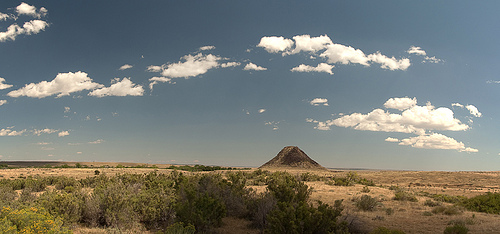
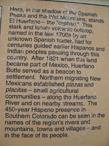
We try to stretch out our vacation, stopping at roadside attractions and points of interest. Now we know all about that goofy-looking lump south of Pueblo: Huerfano Butte is a volcanic remnant, named “Orphan” in Spanish, because it’s out in a field, all by itself.

El Huerfano: Panorama

El Huerfano: Info

We stop in Walsenburg at their wonderful old post office, which smells like paper and glue, as a post office should, to mail our last postcards. We say goodbye to the big mountains here at the Sangre De Cristos.

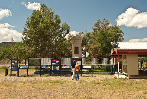
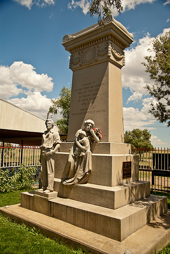
We also pull off the interstate to learn about the site of the Ludlow Massacre, also known as the “Birthplace of Public Relations.”

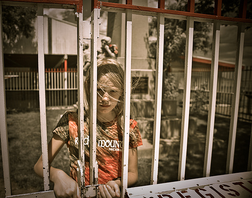
Ludlow Massacre Memorial

Ludlow Massacre Memorial

Ludlow Massacre Memorial

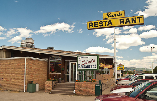
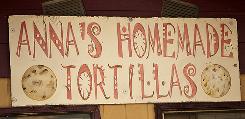
We arrive in Raton in the early afternoon, and eat at the Sands Motel, another ratty-ass diner. We order from the Mexican menu again and aren’t disappointed. Again on the advice of my coworker, whose knowledge of northeastern New Mexican cuisine is somewhat baffling, we buy some tortillas from a little shop along the road and head east.

The Sands

Tortillas

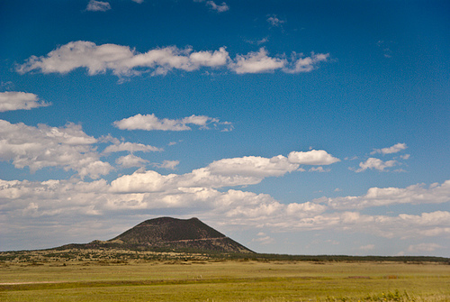
The drive through New Mexico is pretty. The sky is perfect summer blue, behind the parched-grass ranches with their scattered mesas and hills. The Capulin Volcano almost convinced us to stop, but instead Bryan took photos of it as I drove by. The pastures here are scattered with chunks of black igneous rock, scattered in piles, either belched up out of the ground ages ago or thrown here by the explosions of ancient volcanoes.

Capulin Volcano

The land changes as we cross into Texas: it becomes flatter, with cornfields and irrigation equipment replacing the scruffy pasture. We skip supper, since we’re still full from lunch, and arrive in Amarillo in the early evening.

Our hotel here is nice. We’ve missed the free beer hour but the tap is unattended and Bryan helps himself; we find that cheap beer is much better when it’s free and accompanied by popcorn. I go to the pool with Mandy, which is mobbed. “Why don’t you ask one of those girls to play?” I ask. “Oh, they already asked me but I told them that I’m not sociable.” Mandy does fine with adults, and fine on her own; other kids baffle her.

The story continues…
Part 5 – Part 6 – Part 7

Colorado Vacation, Part 5: Long’s Peak Loop

This is a multi-part trip report, if you haven’t already you should start with Part 1. Remember too that you can click on any of the photos to see larger versions of them.

This morning at Moraine Park, we got the highest compliment possible from a fellow tent person in a car campground: “You’re so quiet.”

Today’s our day off. After yesterday, we need one. I’m up early, repacking the food bin, sorting out all the stuff in the back of the car. We’re heading to Estes Park for a quick breakfast and a trip to “Dad’s Laundromat” but first we need to pick up our next backpacking permit.
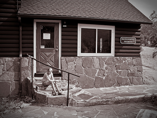
Backcountry office

After breakfast, Bryan and Mandy drop me off at the laundromat and run to the outdoor store for a water pump attachment and new boot laces while I finish up with the clothes. We’re all grumpy this morning for some reason we don’t understand, and it’s hard to take sides when everybody’s wrong, but clean shirts and new boot laces help a little.

Bryan’s been looking forward to showing us Fall River Road, and we leave just after noon to experience it in all its gravelly one-way glory. We’re quickly past the twisted, sparse trees to above treeline, and it feels like we can see forever. Mandy has fallen in love with this landscape, even more than the other places here in the park.
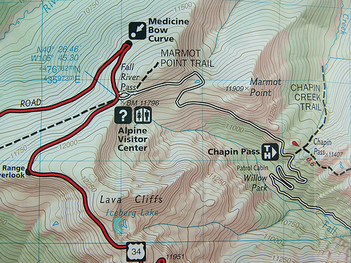
Mappity

This gravel road was the original route through the park and over the continental divide but, due to maintenance issues, they had to construct Trail Ridge Road (the highest continuously paved road in the US) which we’ll take on the way back.
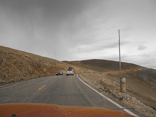
Trail Ridge Road

At the Alpine Visitors Center we learn the difference between a glacier and snowpack but don’t take time to stay for the ranger program on lightning. The roof is covered with heavy wooden timbers to keep it from blowing away; winds here regularly get to above 100 mph in the winter and the center is only open for a few months in the summertime each year.
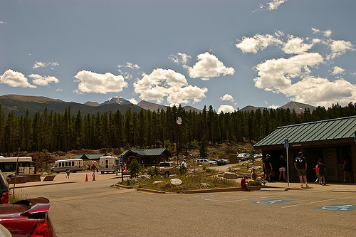
Park-n-Ride

We return to the parking lot, repack, and catch the shuttle back to the Glacier Gorge trailhead for a short uphill hike to the Boulder Brook backcountry site, where we’ll spend the night. We hike in our big packs through throngs of tourists up to Alberta Falls, where we take the North Longs Peak trail and abruptly find ourselves completely alone. We hike about three miles this afternoon, without seeing any other people, on the gently upward slope of a very nicely built trail. We stop a couple of times this afternoon, to pump water, to put moleskin on a hot spot on Mandy’s toe, but generally we feel good and make decent time.
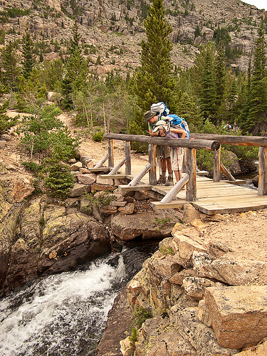
Neat creek

We’ve been trying hard to take care of ourselves. Bryan set his watch’s alarm to fifteen minutes, and when it goes off we take a quick break and a drink. We can tell that our bodies are getting used to the thinner air at this altitude, and for the first time today we hike without uncomfortable breathing. We get to camp just before dark and after working together to set up the tents, Bryan pumps water while Mandy and I start supper away from camp, boiling water and measuring it into the foil pouches that hold beef stew and pasta.

I realize that I’m still too close, so I find a place farther from camp and carry the food, wrapped in my down vest for insulation, to the new kitchen area. In the process, I ooze spinach puttanesca all over my vest! While Mandy and Bryan eat I have to go to the creek in the dark to wash my vest out, and by the time I hang it from a tree to dry my remaining supper is ready. We get things organized for tomorrow’s early morning and we’re in bed, at around 10,000 feet, by around nine. I sleep well despite being certain that my nice vest will be devoured by creatures in the night.

Oh-three-hundred came much earlier than we wanted it to but even Mandy got up and around without complaint, shoving her feet into boots in the dark. We decided, sometime shortly after our stop at the group campsite privy, that someone needs to produce a tshirt with a list of “Privies of Rocky Mountain National Park” with elevations and boxes to check off. The weather’s nice — not as chilly as we expected — and the hike goes well.

I keep thinking about bears. Not nice bears. Though we haven’t seen one, there have been several reports of bears, many of them mamas with cubs, on our hikes on previous days. Our previous trips in the past year have resulted in run-ins with large scary creatures, and I keep expecting this one to be no different. It’s very, very dark. And then we step across some VERY FRESH BEAR POOP in the trail. We keep going along at a good clip but we’re too sleepy to remember the words to any songs. I remember this as a very difficult portion of the day.
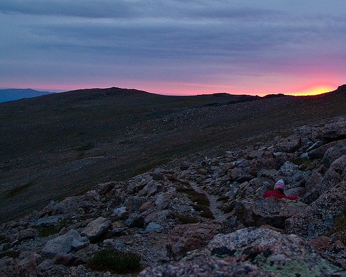
Sunrise from near Granite Pass

Dawn comes on the side of Battle Mountain. We’re well above treeline and I take a break while Bryan and Mandy take some photographs; I’m having trouble breathing, though Bryan and Mandy are fine. It’s not much farther to Granite Pass, where we’ll meet up with the East Long’s Peak trail and the steady stream of other hikers who will try to summit today.

Just at Granite Pass it starts to drizzle. It’s not cold, and it’s not raining much, so we pull out our raincoats and keep walking up the switchback trail to the boulderfield. The view from here is stunning, even though it’s misty; we walk through high meadows of green grass dotted with big rocks, and we see mountains spread out in the distance for miles and miles and miles.

By the way, in the photo below you can see how Longs Peak was shrouded in clouds (hint: Longs is in the top center of the photo).
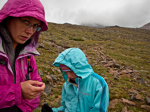
Rain makes us unhappy

It rains more and more as we get to the Boulderfield. People who’ve slept here huddle unhappily outside their tents, next to the stone windbreaks. We can see people standing in the keyhole above, deciding whether to go forward with their climb. We watch a marmot scurry around, his tail moving in quick circles as he runs, excited by all the people in his backyard. The people are less excited, because we’re all trying to decide whether to turn back or go forward.

The rain continues; now the whole sky is layered in gray blankets as far as we can see. Long’s Peak is socked in clouds; we might be able to make it to the top but we wouldn’t be able to see a thing from there. The exposed portions of the steep trail will be slippery in the wet. We’re frustrated; I’m breathing better and feeling fine, Bryan’s not sick as he’d been last time he’d tried Long’s. Mandy’s in fine shape, too; our whole week has been planned so that we’d feel good at this point in our Long’s Peak hike, and we do feel good, but the weather is awful.
Resting on way down from Longs

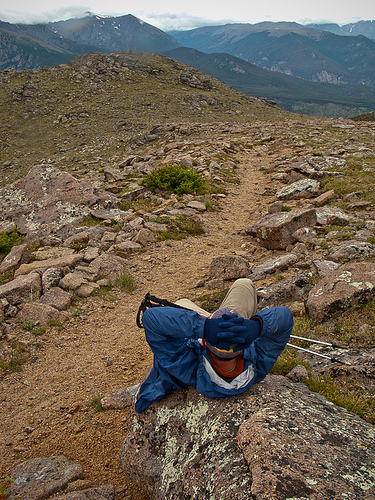
We start slogging down the switchbacks in the rain, toward our base camp. Mandy is disappointed but a good sport; Bryan’s really much sadder than even he’d anticipated but he tries not to show it. At Granite Pass we stop to rest, and a couple of hikers stop to visit. They hadn’t summitted either; in fact, only one person had, quite early, and he’d been turning other people around as they came up the mountain.
Knarled wood

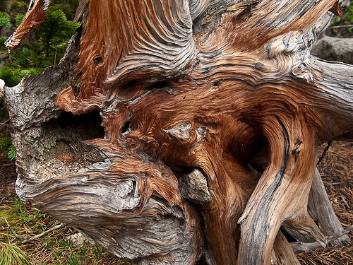
After the first disappointment wears off, we enjoy our hike down. Mandy hams it up, doing inexplicable Elvis impersonations and farting cheerfully. The mist shrouds the farther mountains but we can still see what we missed on the way up the trail in the dark. Near treeline the scrubby twisted trees, called krumholtz, are interesting and alien, and farther down we pass through woods full of enormous, twisted, dead spruce trees. Decimated by fire a hundred years ago, the woods in this area still haven’t fully recovered. Mandy makes up songs about the relative size and tastiness of small woodland creatures:

“I want a chimpmunk for breakfast,
a squirrel for lunch,
a pica for supper,
or maybe a bunch.”

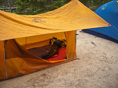
We get back to our base camp at Boulder Brook around noon, already having hiked ten miles for the day. We crawl back into our beds in a light rain and fall asleep; this may be my best nap ever. The sun is starting to peek out when we wake around three. I vote not to hike out this afternoon; our plan was to spend another night here, but I can’t argue against the practicality of a head start and I let myself be bribed by the promise of another cheeseburger from the Rock Inn. We pack up camp and head downhill.
Boulderbrook campsite

The Boulder Brook trail appears to be the bastard path of the national park. It’s steep but very pretty, totally untraveled, and while it was built well it now seems to be entirely unmaintained. We follow the stream that, in this morning’s boulderfield, was barely more than a trickle; now it’s a substantial and steep creek rolling down from the mountain. We’re back at the car at six, and reflect on the wisdom of the day’s decision not to keep climbing. The sky’s blue down here, and the day’s turned out warm, but Long’s Peak above us is still socked in clouds.

We have to try two visitors’ centers before finding one with good t-shirts. Later, driving through Estes Park, we can’t help picking out the places we’ll go on our next visit, the things we were interested in but didn’t have time to do this time, the items to look at when we come back to try Long’s Peak again. We have another excellent cheeseburger before heading back to the interstate, toward home.

The story continues…
Part 4 – Part 5 – Part 6
Colorado Vacation, Part 4: Sky Pond

This is a multi-part trip report, if you haven’t already you should start with Part 1. Remember too that you can click on any of the photos to see larger versions of them.

After throwing our backpacks into the Subaru and repacking light daypacks, we’re off on the shuttle again for the Glacier Gorge trailhead and the walk to Sky Pond. We think it should be about three miles, according to our National Geographic Map (which we’re learning not to trust). The trailhead signage indicates that it’s closer to five miles. We’re starting about noon and have to be back by seven for the last shuttle, so time’s on our mind as we start out. If it really is a ten mile round trip, with this much elevation change we’ll really have to hustle.

Moving along

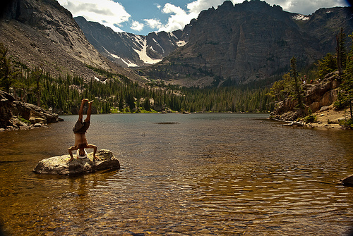
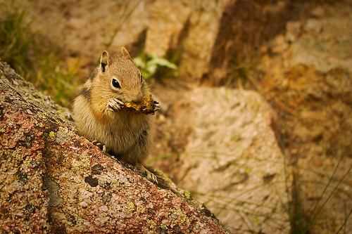
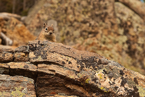
We pass the Loch, where we pump water and squint at Timberline Falls in the distance. We watch a foreign tourist clown around on a rock in the middle, and Mandy has a long portrait session with a chipmunk before getting fussed at when he climbs on her camera bag and she calmly picks him up and sets him on the ground.

Another tourist goofing off

Chipmunk

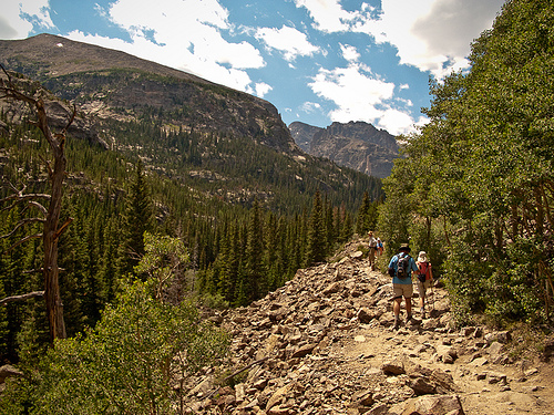
Around here the crowd thins quite a bit. The trails are so good, throughout the park, even the farther-out trails that get less traffic. They’re well engineered and well maintained. In places we pass little flags with notes for maintenance crews to smooth the surface or install lines of rocks to divert the water and keep it from washing out the trail.

Aly and Mandy

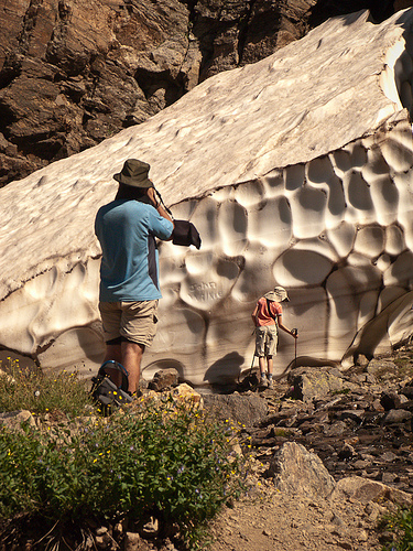
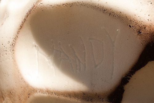
Mandy’s first snowpack’s here, and the beauty of the falls is completely lost on her as she happily writes her name in the crusty white wall before stabbing at it with her hiking poles until we make her stop.

Timberline Falls

Behind the scenes

Snowpack graffiti

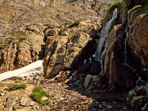
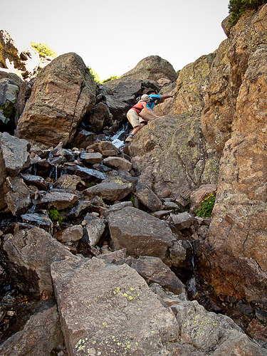
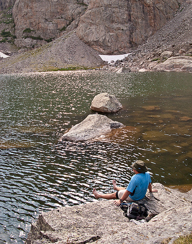
We scramble up the edge of the falls and don’t even stop at beautiful Glass Lake. We get to Sky Pond at about 4:30 and waste no time removing socks and shoes to dip our toes in the frigid water just below the snow. We laugh as we see the oily yuck from our dirty feet float to the surface of the water.

Climbing TImberline Falls

Bryan soaks his feet at Sky Pond

We have the lake almost to ourselves, and we take a few minutes to admire the Petit Grepon and the Sharks Tooth. Yes, Mandy says, it was worth the hike up. Yes, she says, this is much, much better than Disneyworld. In Disneyworld there’s no treeline, and there’s no lake that makes your whole foot numb if you put it in for three minutes.

View from Timberline Falls

We leave Sky Pond a few minutes before five and make it to the trailhead right at seven; we’ve hiked five miles in just over two hours, and we’re beat. We catch the next-to-last bus back to the Park and Ride and set up camp back at Moraine Park before a trip to the Rock Inn Mountain Tavern (see video below for a quick look around this great restaurant) for good sweet potato fries and cheeseburgers made with local beef on organic buns. The bathrooms have warm water, and there’s ice in the glasses, and tonight we don’t take those things for granted. The Rock Inn’s playing bluegrass music at the edge of hearing, and it’s wooden and dark.

After a thirteen mile day, Mandy’s one tired little girl and we can’t pretend to be in much better shape. It’s time for bed.

http://www.youtube-nocookie.com/v/uHk22EwMe1s&hl=en&fs=1&rel=0

The story continues…
Part 3 – Part 4 – Part 5

Colorado Vacation, Part 3: Spruce Lake/Sourdough

This is a multi-part trip report, if you haven’t already you should start with Part 1. Remember too that you can click on any of the photos to see larger versions of them.

Moraine Park

This morning we pick up our first backcountry camping permit before driving into Estes Park for breakfast and to pick up our bear canister. We resolve a strange mixup about the container, buy Bryan a funny collapsible Chinese hiking hat thing, and hurry back to Moraine Park to pack up camp. At the Park and Ride lot, we disgorge the entire contents of the Subaru into the parking area. After packing for our first two-night loop, we catch the shuttle to the trailhead.

Our gear hauler

It’s a great day. The sky is blue with cheerful puffy clouds, the mountains are beautiful, and the temperature is perfect: slightly too warm when hiking but slightly chilly when we stop. There are lots and lots of people crowding the trails for the first two or three miles, though past Fern Falls the tourists thin out. I begin to think we won’t make it to camp before dark, but after the trail junction at Fern Lake our path to Spruce Lake goes mostly downhill and we make good time. The spruce trees here look silly, like pines with heavy bodies and short arms. We’ve walked about five miles in about five hours, which isn’t bad considering that we have heavy loads and we’ve walked uphill all day; we’re at nearly 10,000 feet now. We have the tents up and water boiling before night falls on our own private lake.

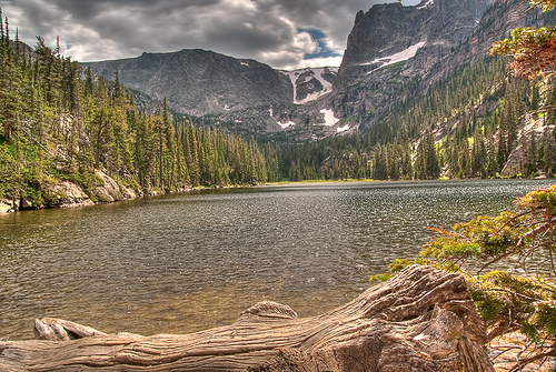
The privies at these campsites are well done; Mandy says “Haha! I peed in a can in the woods!” There are no structures at all, just a dugout hole below a plywood platform and a metal toilet with a cover, facing away from the trail into the woods. Mandy’s up first this morning, racing down to the lake with her camera before coming back to her tent to read a bat book. The lake is beautiful in the morning light: the trout swim in clear water under the glass-calm surface, rimmed with spruce, framed in mountains. We lie in the warm orange tent enjoying the stillness before a busy day.

Spruce Lake

A little later, we cook breakfast next to the lake and then lie on a big warm rock together at the edge of the water, dozing in the sunshine.

Breakfast at Spruce Lake

The hike out to Fern Lake is pleasant; the trail builders have laid half-timbers across the marshy spots where wildflowers still bloom. It’s a dry, breezy day, and there’s lots of traffic on the main trail here; we stop for a snack at the ranger patrol cabin before walking along the edge of the lake. Sitting next to her baby carrier, a mom rests on the shore of the lake nursing her baby. (She’s at least five miles from a trailhead: good for her!)

Odessa Lake

We stop at Odessa Lake for lunch and to pump water. The chipmunks here are convinced that we’re cooking just for them and we have to keep a close eye on our packs and lunches. We’ve been walking through postcards all day, quiet lakes reflecting green trees, with treeline not far above us, topped with layers of rock and snow and deep blue summer sky.

Chipmonk at Odessa Lake

I walk down a bit to find a better place to pump water and enjoy a little quiet. I can barely hear the murmur of Bryan’s and Mandy’s voices nearby. Mandy has started saying things like “In a few years, when you come here to visit me…” She’s decided to move here as soon as possible. Apparently this conclusion was reached somewhere between The Pool and Fern Falls, without the need for much discussion with us.

This week feels like a gift, some kind of grace, a few days stolen between the busyness of summer school and Tulsa trips and the beginning of fall classes and chores.

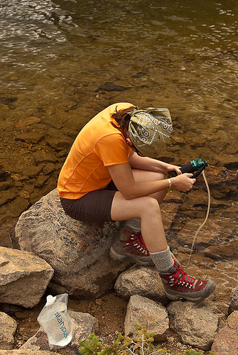
Pumping water

After Odessa Lake, the trail goes up. And then it goes up, and up, and up. These mountains are big in a way we didn’t understand from just looking; it’s something one realizes quite clearly when one has hiked uphill for two days straight. The views from this section of trail, from the big boulder fields we traverse, is stunning. We’re all still cheerful; even Mandy is happily slogging along in her big pack. Today we hike 4.3 miles in 5.5 hours, including the lunch stop, and we’ll sleep tonight at just over 10,000 feet.

Mandy faces

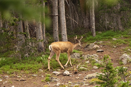
Just after arriving at Sourdough camp, a big mule deer comes to visit, and he returns several times during the evening. Bryan and Mandy go after water and I cook supper a distance from camp. Our packets of warm food are tucked inside my vest to cook, and I have time to sit and think: why do we backpack? I say it’s to get away from people, to have places like these all to ourselves, and that’s true. Crowded campgrounds are sad and irritating, too close to too many people. But there’s something else, too, something that isn’t so easy to explain. Backpacking, I think, reduces the day to its essential elements. We walk. We get water. We cook food. We set up shelters. We are a family. And that’s all. Life is so complicated, sometimes; backpacking reduces it to its essentials, if only for a few days.

Mule deer at Sourdough

After supper and a trip to the privy, we all sleep well. We’re up early to hike out, and easy hike downhill to the trailhead.

Pond near Sourdough

The story continues…
Part 2 – Part 3 – Part 4

Colorado Vacation, Part 2: Great Sand Dunes

This is a multi-part trip report, if you haven’t already you should start with Part 1. Remember too that you can click on any of the photos to see larger versions of them.

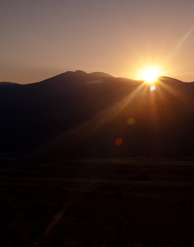
Up before sunrise, we leave the tents and bundle up to drive to Great Sand Dunes National Park. The outlines of the mountains and dunes are visible as we get there, and we walk out into the softly lit sand (and cold wind) to watch the sunrise. The Sangre de Cristo mountains look distant still, in misty dawn light, but the dunes glow warm and pink as morning comes.

Great Sand Dunes National Park
Click to see this panorama in a bigger size!

After some time spent taking photographs dunes around us, Mandy and I leave Bryan with his tripod and walk toward the nearest dunes. We reach the top of the first one just as the first rays appear.

First light

Mandy stands at the lip of the next dune, with her camera held up. She looks for all the world like a very short National Geographic photographer, working in some exotic and dangerous foreign assignment. It’s only for a moment, though; she holds her arms up, yells, and plunges down the side of the dune, suddenly a little kid again.

Happy

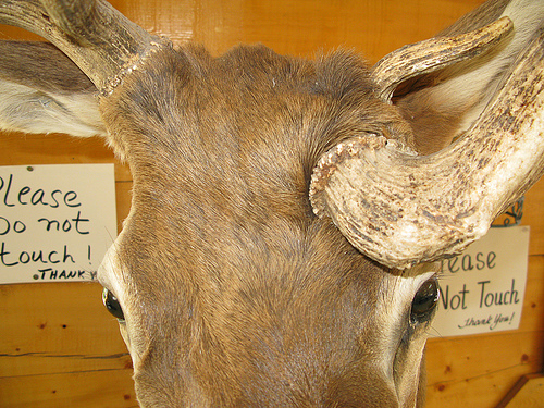
After a stop at the small but excellent visitors center, we fill out postcards and eat breakfast at the restaurant just outside the park. The food’s no good but the decor features a mounted head with an antler protruding from the stuffed thing’s forehead.

Weird Deer

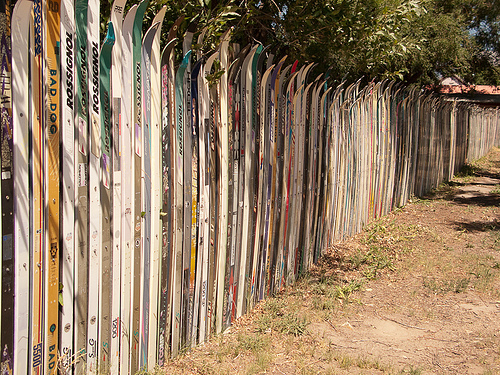
We make a quick stop back at San Luis Lakes to pack up camp, and Bryan naps in the car until a stop in Blanca where a detour to the tiny post office leads us past a fence made entirely of cross country skis.

Ski fence

In Pueblo we stop at Chipotle for an excellent lunch, and I nap until Colorado Springs. The drive up the front range is pretty, made even more fun by Mandy’s excited amazement. “It’s so beautiful,” she says. “Wow, look at that one!”

The REI “Flagship Store” in Denver is huge, an old brick warehouse converted into a store, with exposed metal beams and a 45 foot indoor climbing wall. Arriving only an hour before closing time on Sunday afternoon, we practically jog through the store, stopping long enough to snag a few items on our list, including a new harness for Bryan and some purple climbing shoes for me. The store sits near the river, and there’s a little park on the grounds with boulders for kids to climb on, statues of animals, and aspen trees. It’s right on a walking and bike trail, next to Confluence Park‘s water play area. Even on a Sunday evening, the park is crowded with inner tubes and pool noodles and people splashing in the shallow water. The whole area is very busy, not with cars but with people on foot and on bikes.

In Boulder, we drive around until Bryan finds a place in memory: the Pearl Street Mall. It’s a great outdoor shopping area with interesting stores and street performers and the smells of good food. After stuffing ourselves silly on pasta and cheesecake, we walk back to the car and drive to Rocky Mountain National Park.

We arrive late but the Moraine Park Campground people helpfully list the names of the campers arriving after the kiosk is shut down; we quickly find our name and campsite number and set up tents, again, in the glare of the headlights. We’ve driven 1353 miles since leaving home, and we’ll sleep well tonight at over 8,000 feet.

The story continues…
Part 1 – Part 2 – Part 3